Mount Greylock State Reservation —
Your Complete Guide
The highest point in Massachusetts at 3,491 feet. Free to enter, open dawn to dusk, with a summit road open mid May to late October.
What is Mount Greylock State Reservation?
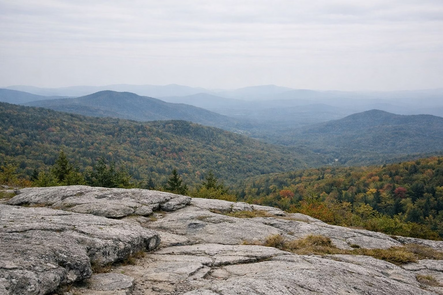
Mount Greylock State Reservation is a state park of about 12,500 acres in the northern Berkshires, built around Mount Greylock, the highest point in Massachusetts at 3,491 feet.It became Massachusetts' first wilderness state park in 1898, and it's managed by the Massachusetts Department of Conservation and Recreation (DCR). On a clear day DCR says you can see 90 miles from the summit, where the Veterans War Memorial Tower and Bascom Lodge stand beside the Appalachian Trail.
You can drive up the summit road in season or hike one of the trails that climb from six surrounding towns. The Cheshire Harbor Trail from Adams is DCR's easiest route to the top. In October, the foliage month, DCR warns of traffic on the summit roads.
Mount Greylock State Reservation at a Glance
What to Do at Mount Greylock State Reservation
DCR lists hiking, camping, mountain biking, cross-country skiing, snowmobiling, hunting and educational programs here, plus a scenic drive to the top.

Hiking
From a 1.8-mile loop at the visitor center to a 13-mile day over the range. DCR's easiest summit hike is the Cheshire Harbor Trail, 3.3 miles each way.
Hiking Guide →
Drive to the Summit
Rockwell and Notch Roads climb to the top in season (May 16 through October 30, 2026). No vehicles over 22 feet.
Auto Road →
Camping
Sperry Road Campground is hike-in, $8 a night for Massachusetts plates and $20 for out-of-state plates. Five free trail shelters are open all year.
Camping Guide →
Views
DCR says you can see as far as 90 miles from the summit on a clear day. Stony Ledge is an easy walk to another big view.
The Summit →
Winter Sports
Snowshoeing, backcountry skiing on the CCC-built Thunderbolt Ski Trail, cross-country skiing and snowmobiling to the summit.
Thunderbolt Trail →
Mountain Biking
DCR lists mountain biking in the reservation, and the trails at Greylock Glen in Adams are built for it.
Greylock Glen →Popular Trails at Mount Greylock
Distances and ratings from DCR's own trail guides.
DCR's easiest and shortest route from base to summit. 4 to 5 hours, about 2,100 feet of climb.
Trail Guide →One of the most dramatic views in the park, DCR says. 2.5 to 3 hours. Seasonal trailhead.
Stony Ledge →Crosses the summit. From Wilbur's Clearing on Notch Road it's 3.2 miles to the top.
The AT →Old farm walls and an 1800s orchard, starting at the visitor center. About 90 minutes.
Visitor Center →How to Get to Mount Greylock State Reservation
The visitor center at the south end is the place to start. Trailheads ring the mountain in six towns.
By Car
The visitor center lot is free and open to all vehicles. The summit is 8 miles up Rockwell Road in season. See parking for every trailhead lot.
By Public Transit
DCR doesn't list public transit to the reservation. In October, the Greylock Ramble runs free shuttles from downtown Adams to the Cheshire Harbor trailhead.
Visitor Center
30 Rockwell Road, Lanesborough, MA 01237. (413) 499-4262. Exhibits, a short film, free trail maps, restrooms. See the visitor center page.
Trail Map
The reservation's outline, approximate and drawn from OpenStreetMap. DCR's own trail map, with paper copies, is on the trail map page.
See the trail mapToday at Mount Greylock
- ForecastLoading...
- Wind and rain chanceLoading...
- Sunrise and sunsetLoading...
Forecast: National Weather Service. Read in your browser, nothing stored.Full forecast at weather.gov
Distance From Albany and Nearby Cities
| From | Miles | Drive (typical, no traffic) |
|---|---|---|
| Albany | 37 | 1 hr 5 min |
| Springfield | 62 | 1 hr 37 min |
| Hartford | 88 | 2 hr 8 min |
Each drive ends at the Visitor Center lot at 30 Rockwell Road, Lanesborough. Road distance and drive time from OpenStreetMap routing (OSRM), checked November 6, 2026. Drive times are typical, with no traffic.
Turn-by-turn from each city
Frequently Asked Questions
Is Mount Greylock State Reservation free?
Yes. There's no entrance fee, and parking at the visitor center is free. DCR's trail mileage sheet and the National Park Service both mention a $2 fee at the summit lot; check the sign there. Camping and Bascom Lodge cost extra.
Where is Mount Greylock State Reservation?
In the northern Berkshires of western Massachusetts, across the towns of Adams, Cheshire, Lanesborough, New Ashford, North Adams and Williamstown. The visitor center is at 30 Rockwell Road, Lanesborough, MA 01237. The National Park Service puts it about three hours west of Boston.
Can you drive to the top of Mount Greylock?
Yes, in season. In 2026 the auto roads are open May 16 through October 30, 2026. Vehicles longer than 22 feet aren't allowed.
How tall is Mount Greylock?
3,491 feet, the highest point in Massachusetts.
Are dogs allowed at Mount Greylock?
Yes, on a leash no longer than 10 feet and attended at all times, with current proof of rabies vaccination.
What are the hours at Mount Greylock?
The reservation is open dawn to dusk year-round. The visitor center is open daily 9am to 4pm, closed Thanksgiving and Christmas. See hours.
Everything You Need to Know About Mount Greylock
Dates and fees change each year. The DCR page for Mount Greylock State Reservation is the source of record.