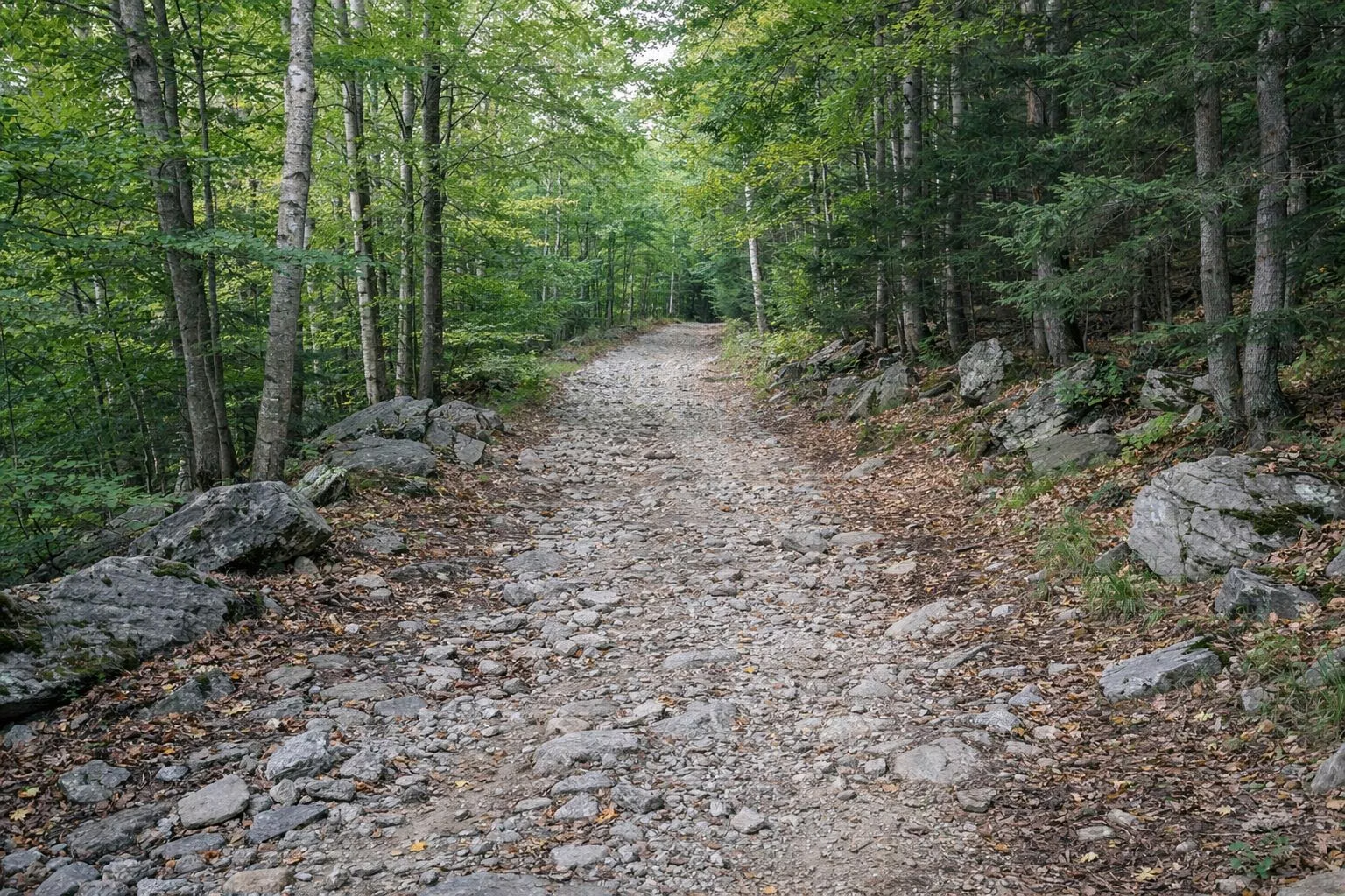
Cheshire Harbor Trail
The Cheshire Harbor Trail is the easiest and shortest hike from the base of Mount Greylock to the summit, by DCR's own description. It starts at the end of West Mountain Road in Adams and reaches the 3,491-foot summit in 3.3 miles. DCR's suggested loop is 6.6 miles round trip, about 4 to 5 hours, with roughly 2,100 feet of climbing.
"Easiest" is relative. It is still a climb of about 2,100 feet. Its big advantages are a year-round trailhead and the shortest distance from the valley to the top.
Cheshire Harbor Trail at a Glance
Where the Trail Starts
The trailhead is at the end of West Mountain Road in Adams, past Greylock Greenhouses. DCR gives its position as 42°36'38"N, 73°9'23"W. Because it isn't on the seasonal auto road, you can reach it all year. DCR's fall guide lists the trailhead as free.
DCR's fall guide (a 2017 map) notes free shuttles from downtown Adams to the base of the trail during the Greylock Ramble in October. Check that year's schedule.
The Route, Step by Step
- From the parking area, head uphill on the Cheshire Harbor Trail. Old Adams Road branches off at 1.0 mile.
- At 1.5 miles a cut-off trail leads across to the Gould Trail. Stay on Cheshire Harbor for the climb.
- At 2.6 miles you reach Rockwell Road and the Appalachian Trail.
- Turn north on the AT for 0.7 miles to the summit, 3.3 miles from the car.
- For DCR's loop, come back down the AT 0.7 miles to the road crossing, take the Gould Trail for about 0.75 miles, then the 0.25-mile Peck's Brook cut-off across the ravine back to the Cheshire Harbor Trail and down to your car.
What the Trail Is Like
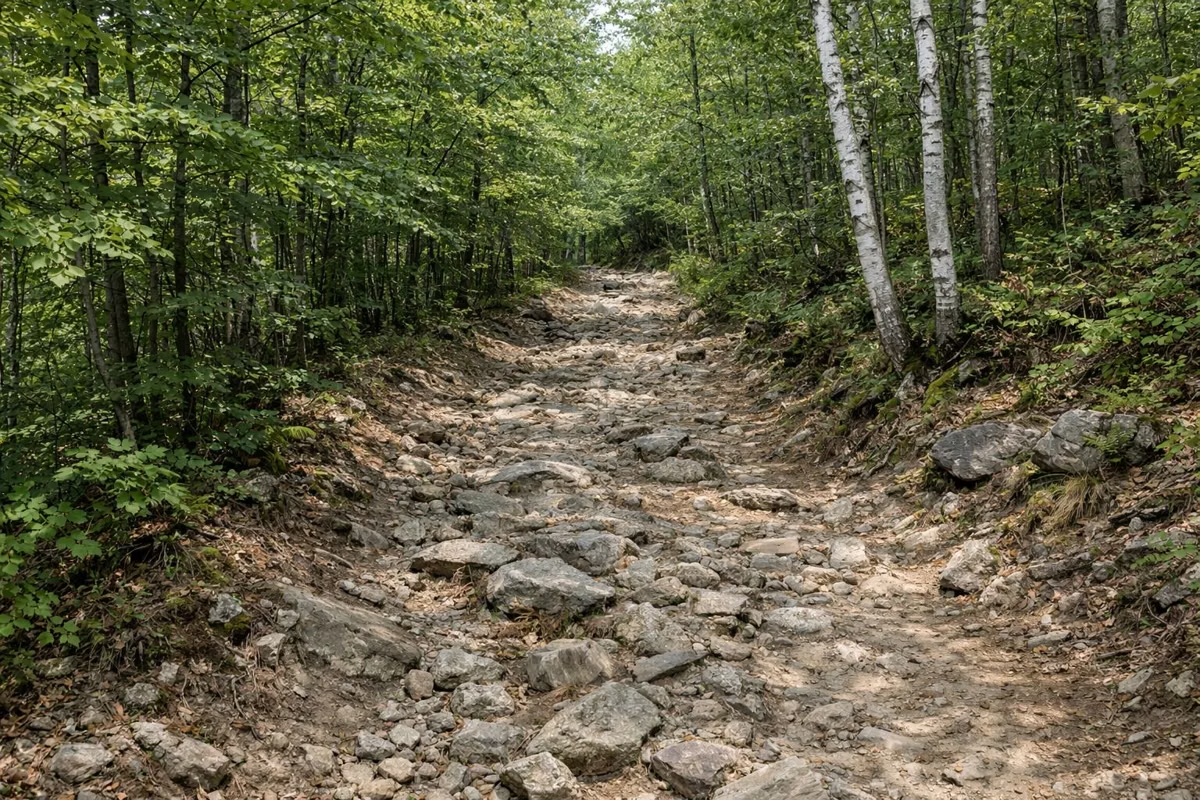
The lower part is a wide, rocky double track with switchbacks, the kind of old road you can walk side by side. DCR rates the first 1.5 miles moderate and the rest of the climb to Rockwell Road strenuous, so the second half is the hard part.
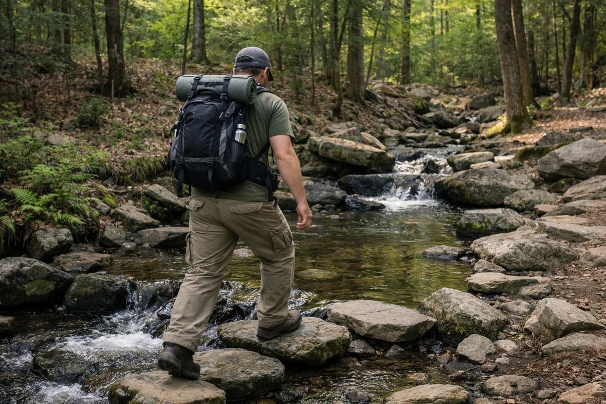
Expect wet sections. DCR's hiking guide warns that trails can be wet and recommends sturdy waterproof boots and layers for temperature changes.
How Long It Takes
DCR estimates 4 to 5 hours for the full loop. It plans on 1.5 miles an hour for an average hiker and asks hikers to start early and know when the sun sets. That matters most in October, when days are short.
What's at the Top
The trail ends at the summit, with the Veterans War Memorial Tower, Bascom Lodge and views DCR says reach as far as 90 miles on a clear day. The tower and lodge are open in season, from late May to mid October. Drinking water is available behind the lodge from late May through October.
Other Ways Down from the Same Trailhead
- Gould Trail: 2.7 miles to the summit via the AT from the West Mountain Road / Gould Trail lot, strenuous. Passes Peck's Brook shelter.
- Red Gate Trail: 0.4 miles (easy) to its junction, 2.6 miles to Old Adams Road (moderate).
- Old Adams Road: leaves the Cheshire Harbor Trail at the 1-mile mark and runs 1.9 miles to the AT, rated strenuous by DCR.
Good For / Maybe Skip If
- Good for: a first summit hike, a winter or early-spring climb when the auto road is closed, and anyone without a car shuttle.
- Maybe skip if: you want a big view without the climb. Stony Ledge via Sperry Road is rated easy and gives one of the best views in the park.
- Maybe skip if: you want a ridge walk rather than a valley climb. The Jones Nose route in our hiking guide follows the ridge through boreal forest.
Before You Go
Dogs are allowed on a leash no longer than 10 feet. Wear blaze orange in hunting season (see rules). Carry the DCR trail map and check the summit weather. DCR's Suggested Day Hikes and mileage sheet are the sources for every distance here; the DCR park page posts closures.
Cheshire Harbor Trail FAQ
How long is the Cheshire Harbor Trail?
3.3 miles from the West Mountain Road trailhead to the Mount Greylock summit, using the last 0.7 miles of the Appalachian Trail. DCR's suggested loop is 6.6 miles round trip.
How hard is the Cheshire Harbor Trail?
DCR rates it moderate to strenuous, with about 2,100 feet of climbing over the hike. It's the easiest route from the base to the summit, but it's a real climb, not a casual walk.
Where do you park for the Cheshire Harbor Trail?
At the trailhead lot at the end of West Mountain Road in Adams, past Greylock Greenhouses. DCR's fall guide lists it with no fee. It's reachable year-round.
How long does it take to hike the Cheshire Harbor Trail?
DCR estimates 4 to 5 hours for its 6.6-mile round-trip loop to the summit.
Can you hike the Cheshire Harbor Trail in winter?
Yes. DCR lists it as a year-round hike because the trailhead isn't on the seasonal auto road. DCR's hike guide asks winter hikers to read its winter safety tips first.
Facts from the DCR page for Mount Greylock State Reservation.