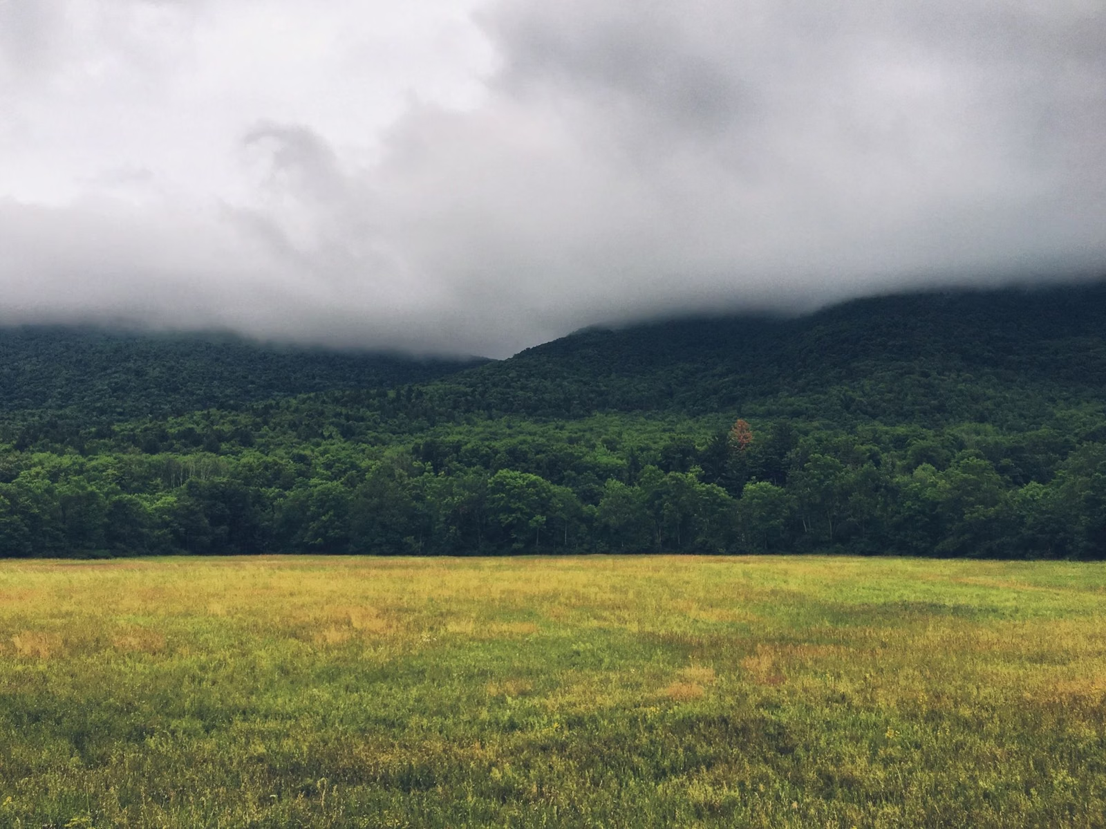
Mount Greylock Weather
Mount Greylock's weather at the summit is colder than in the towns below. The top is 3,491 feet up, while the nearest National Weather Service station, at North Adams airport, sits at 640 feet. Air cools by roughly 3.5°F for every 1,000 feet you climb, so on a typical day the summit runs about 10°F colder than North Adams. For the live forecast, use the NWS point forecast for the summit area, issued by the Albany, New York office.
This page isn't a forecast. It tells you how to read one for a mountain, and what the weather means for the road, the tower and the trails.
Summit Weather at a Glance
The Live Forecast
The National Weather Service point forecast for the summit area is labeled "2 Miles WNW Adams MA." It comes from the NWS office in Albany, New York, which covers the Berkshires. Bookmark it on your phone before you leave home.
One catch: NWS forecasts for a grid square, and that square's average elevation is 2,523 feet. The summit is almost 1,000 feet higher than that, so expect it to be a few degrees colder than even the point forecast says.
Why the Summit Is Colder
Air gets colder as you go up. Training notes on the National Weather Service site give an average of about 6.5°C per kilometer, which works out to roughly 3.5°F per 1,000 feet. The same notes warn that real rates near the ground vary a lot, so treat the number as a guide.
Here's what that means in practice. The Cheshire Harbor hike climbs about 2,100 feet, so the top can be 7°F colder than where you parked. Drive up from North Adams and you've climbed about 2,850 feet, roughly 10°F. Wind on an open summit makes it feel colder still.
What to Wear
DCR's hiking guide says to wear weather-appropriate clothing and layer for temperature changes, and recommends sturdy waterproof boots because the trails can be wet. In practice that means a warm layer and a wind or rain shell in your pack, even on a summer day in the valley.
Weather and the Summit Road
The auto roads to the summit are seasonal: May 16 through October 30, 2026. Outside that window they're closed to cars. DCR's winter trail map shows which roads are plowed and which aren't, and which routes are for snowmobiles, snowshoes and skis.
Weather and the Tower
DCR opens the Veterans War Memorial Tower daily in season, weather permitting. A closed tower on a stormy day is normal. If the tower is your reason for the trip, check the forecast the morning you go.
Clear Days and the 90-Mile View
DCR says you can see as far as 90 miles from the summit on a clear day. When the summit is in cloud, you may see nothing past the tower, so check the sky cover in the forecast before you make the drive.
Fog in the valleys is part of the mountain's history. The National Park Service retells how Henry David Thoreau spent a cold night on the summit in 1844 and woke to find the valleys below filled with fog.
Fall Weather
Searches for Mount Greylock peak in October, with foliage. October is also when the gap between valley and summit is easy to underestimate: a mild afternoon in Williamstown can be a cold one at the tower. The road season ends October 30 in 2026.
Winter Weather
DCR keeps eight hikes open year-round (see our hiking guide), and asks winter hikers to read its winter safety tips first. DCR's general advice applies double in winter: start early and know when the sun sets.
Closures and road dates are posted on the DCR park page.
Weather FAQ
How much colder is the top of Mount Greylock?
Roughly 10°F colder than North Adams on a typical day, by our estimate. The summit is about 2,850 feet higher than the North Adams weather station, and air cools by roughly 3.5°F per 1,000 feet. Wind can make it feel colder.
Where can I get the Mount Greylock weather forecast?
Use the National Weather Service point forecast for the summit area, labeled "2 Miles WNW Adams MA" and issued by the NWS office in Albany, NY. Its grid square averages 2,523 feet, so the 3,491-foot summit will be a little colder still.
Is the Mount Greylock road open in bad weather?
The auto roads are open in season (May 16 through October 30, 2026). The tower opens weather permitting. Check the DCR park page for closures before you drive up.
What should I wear to hike Mount Greylock?
Layers and sturdy waterproof boots, as DCR's hiking guide advises. Pack a warm layer and a rain or wind shell even in summer, because the summit is colder than the trailhead.
Facts from the DCR page for Mount Greylock State Reservation.