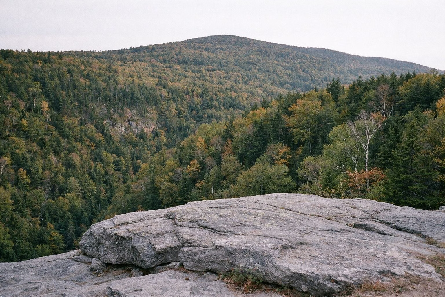
Stony Ledge
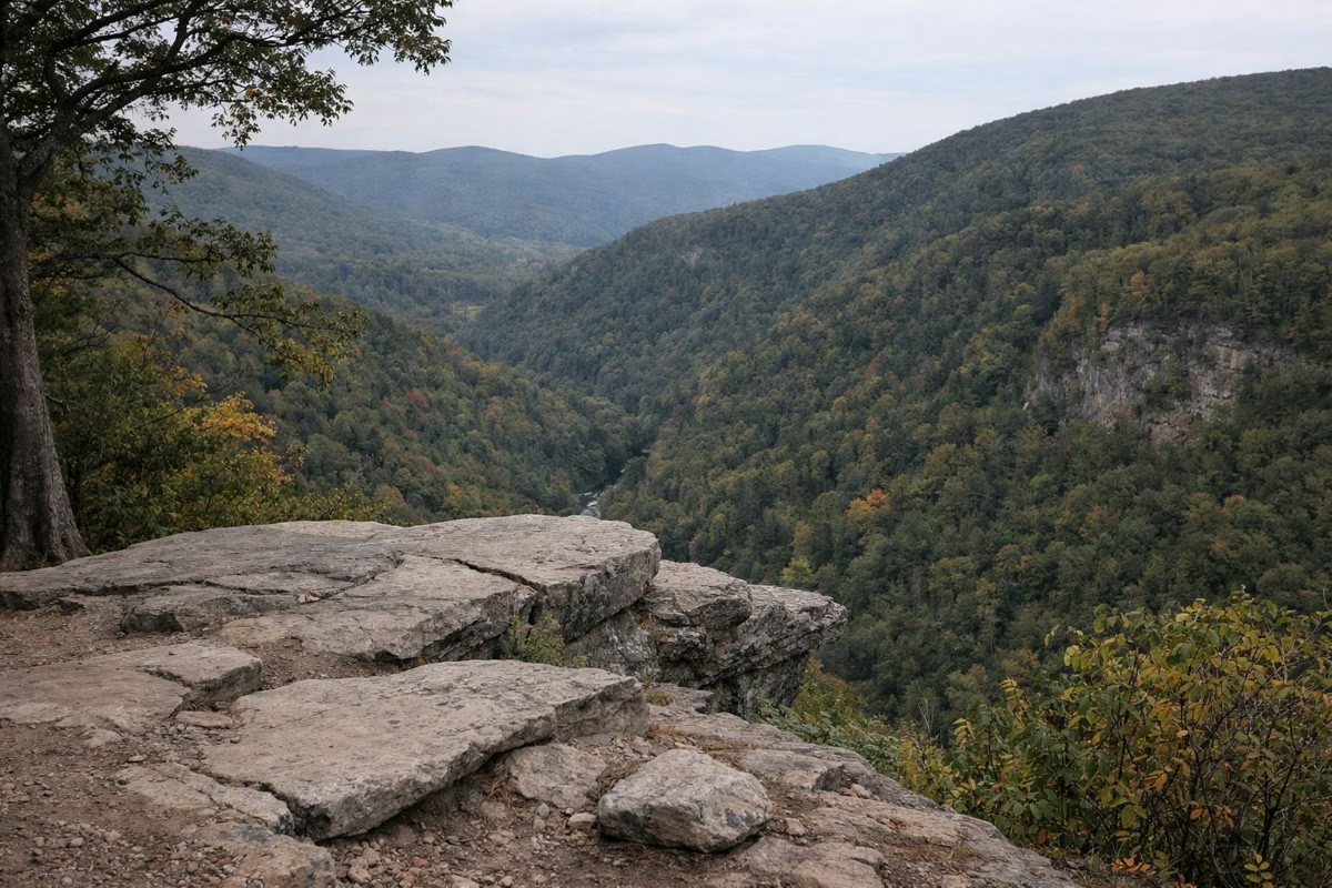
Stony Ledge is a scenic vista on the west side of Mount Greylock that DCR calls one of the most scenic and dramatic views in the park. The easy way there is a 3.8-mile round trip on Sperry Road, a dirt road, from the CCC Dynamite trailhead on Rockwell Road: about 2.5 to 3 hours with 494 feet of climbing. The hard way is a 5.6-mile loop up from Roaring Brook Road in Williamstown.
It's a short walk past Sperry Road Campground, so campers can walk there for sunset.
Stony Ledge at a Glance
The Easy Route: Sperry Road
Park at the CCC Dynamite trailhead on Rockwell Road in New Ashford. Watch for traffic as you cross the road to Sperry Road. Follow Sperry Road 1.9 miles to Stony Ledge, then walk back the same way. DCR rates it easy: 3.8 miles round trip, 2.5 to 3 hours, 494 feet of climb.
If the CCC Dynamite lot is full, DCR suggests driving 1.3 miles downhill to the Campground Parking Lot and taking the Campground Trail to Sperry Road. That version is 5.8 miles round trip, about 4 hours, with 294 feet of climb, and still rated easy.
Both lots are on Rockwell Road, so this hike only works while the auto road is open (May 16 through October 30, 2026).
The Hard Route: Roaring Brook and Stony Ledge
From 160 Roaring Brook Road in Williamstown, take the Roaring Brook Trail 0.5 miles to the Stony Ledge Trail, then climb the Stony Ledge Trail 1.8 miles to the vista. Return on Sperry Road 1.2 miles to the campground and down the Roaring Brook Trail. DCR's numbers: 5.6 miles, 4 to 5 hours, 1,460 feet, strenuous.
DCR describes the route as following Roaring Brook through shady hemlock woods. If you'd rather climb gradually, it suggests going up the Roaring Brook Trail and coming down the steeper Stony Ledge Trail. Parking at Roaring Brook Road is limited, and the trailhead is reachable all year.
Longer Hikes That End at Stony Ledge
- Views and Falls, 5.5 miles from the Haley Farm trailhead on Hopper Road: up the Money Brook and Hopper trails to the campground, with side trips to March Cataract Falls or Deer Hill falls in the "Heart of Greylock," then back by Stony Ledge.
- Greylock in the Round, 13 miles from the same trailhead: past Money Brook Falls, over the summit, and along Sperry Road to Stony Ledge. Aggressive.
Camping Near Stony Ledge
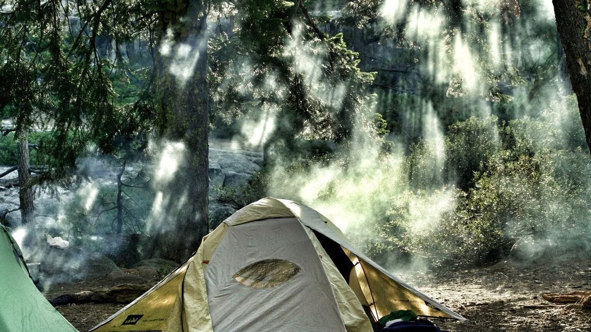
Sperry Road Campground is about 1.2 miles from the ledge along Sperry Road. One of its group sites is named Stony Ledge and has a lean-to shelter. The campground is hike-in only and open late May to early September.
What to Bring
- Water: DCR lists no water at the ledge. The nearest is the campground pump, in season.
- A layer: the ledge is open and higher than the valley.
- A headlamp if you stay for sunset, since the walk back is on a dirt road in the woods.
- Blaze orange in hunting season (any time outside May 20 to Columbus Day). See rules.
Good For / Maybe Skip If
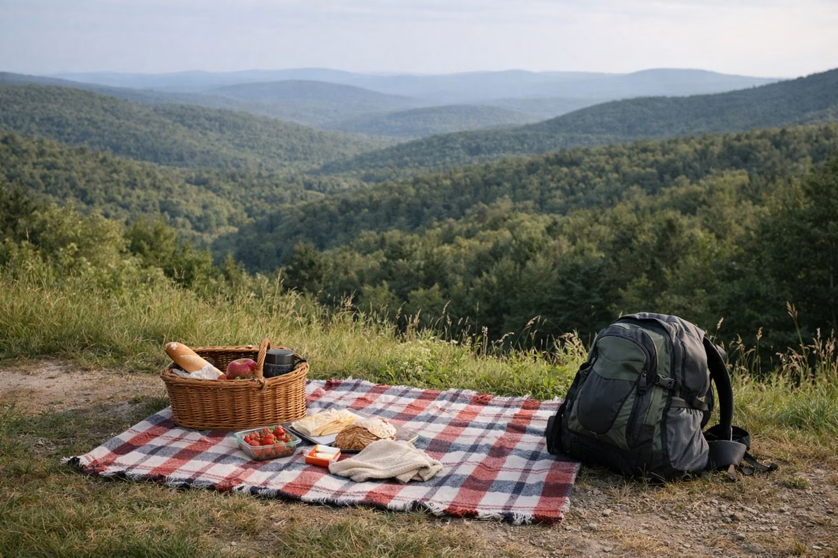
- Good for: families, a first hike on Greylock, campers, and anyone who wants a big view without a big climb.
- Maybe skip if: you want the summit. Stony Ledge is a vista, not the top. Try the Cheshire Harbor Trail.
- Maybe skip if: it's November to May and you want the easy route. The Rockwell Road lots are closed; use the Roaring Brook trailhead.
Every distance here is from DCR's Suggested Day Hikes. The DCR park page posts closures. More routes are in our hiking guide.
Stony Ledge FAQ
How long is the hike to Stony Ledge?
3.8 miles round trip on Sperry Road from the CCC Dynamite trailhead on Rockwell Road, about 2.5 to 3 hours, rated easy by DCR. The Roaring Brook loop from Williamstown is 5.6 miles and strenuous.
How do you get to Stony Ledge?
DCR's suggested route is a walk, not a drive: park at the CCC Dynamite trailhead on Rockwell Road and walk Sperry Road 1.9 miles each way.
Is Stony Ledge open in winter?
The Rockwell Road trailheads are only reachable while the auto road is open, late May to late October. In winter, hikers reach Stony Ledge from the year-round Roaring Brook Road or Hopper Road trailheads in Williamstown.
Is the Stony Ledge hike good for kids?
The Sperry Road route is rated easy by DCR: 3.8 miles round trip on a dirt road with 494 feet of climb. Plan on 2.5 to 3 hours.
Facts from the DCR page for Mount Greylock State Reservation.