About Mount Greylock State Reservation
The Park at a Glance
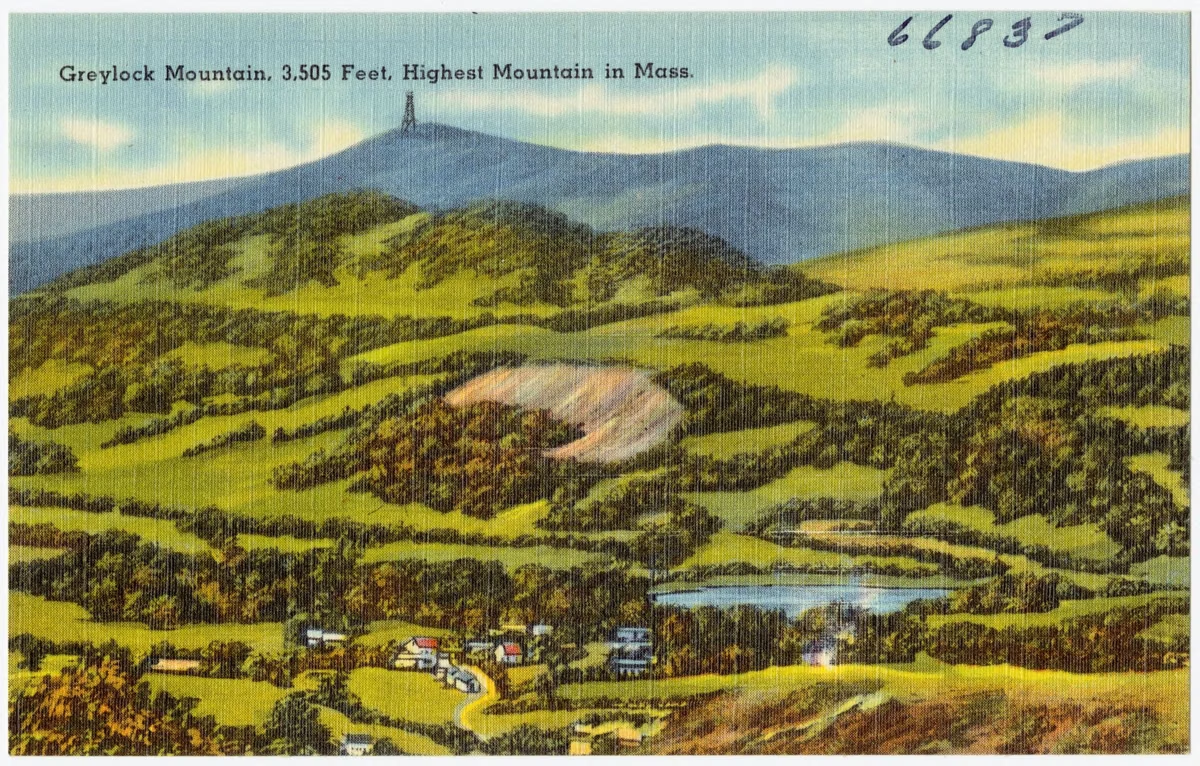
Mount Greylock State Reservation is a 12,500-acre state reservation in Adams, Cheshire, Lanesborough, New Ashford, North Adams and Williamstown, Massachusetts, built around the highest mountain in the state. It became Massachusetts' first state reservation in 1898. Today it's managed by the Massachusetts Department of Conservation and Recreation (DCR).
The history below comes mostly from the National Park Service, which lists the summit as a National Historic Landmark, and from DCR's own trail brochures.
Before the Park
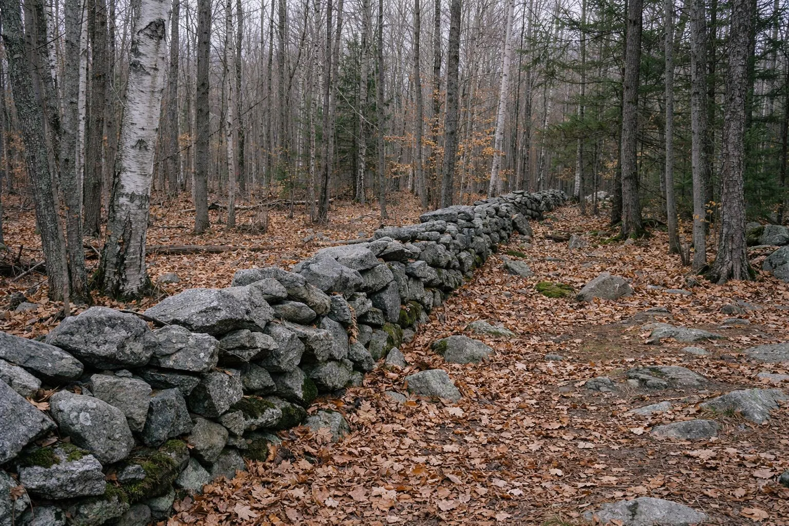
The Mahican people hunted in the area before European settlement, NPS says, though there's no evidence they climbed to the summit. Colonial surveyors mapped the land in 1739 and 1740. Farming followed. DCR's Bradley Farm brochure counts at least 42 farms on the mountain's slopes between 1765 and 1865, and names like Rounds, Northrup, Jones and Wilbur on today's trails come from those families. The visitor center stands on the old Bradley farm.
Jeremiah Wilbur, who farmed 1,600 acres near the Notch in the late 1700s, built the first trail up the mountain. Wilbur's Clearing on Notch Road still carries his name.
Writers on the Mountain
By the early 1800s the summit view drew visitors. Timothy Dwight climbed in 1800 with Wilbur as guide. Williams College students and faculty built observation towers on the summit in 1830 and 1841, and in 1863 local hikers formed the Alpine Club, one of the first hiking clubs in the country.
Writers came too. Nathaniel Hawthorne visited in 1838. Henry David Thoreau spent a cold night on the summit in 1844, wrapped in boards from an old observatory, and woke to fog filling the valleys. Herman Melville, who lived in Pittsfield, dedicated his 1852 novel Pierre to the mountain. DCR's "Thoreau's Footsteps" hike follows part of Thoreau's route (see hiking).
Logging and the First State Reservation
Through the 1800s, farmers, railroads and industry logged the mountain's slopes for timber and fuel. By the mid-1800s, NPS says, heavy logging had caused erosion, fires and landslides. A group of local businessmen formed the Greylock Park Association, bought 400 acres of the summit, and built a 40-foot observatory and a toll road.
When the business failed, the association offered the land to the state on condition that it buy several thousand more acres around the summit. In 1898 Mount Greylock became Massachusetts' first state reservation. DCR calls it the state's first wilderness state park.
Roads, a Memorial and the CCC
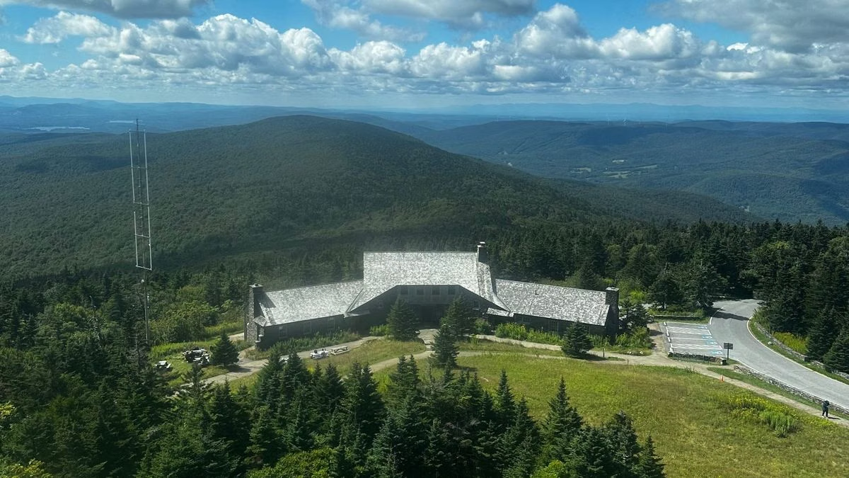
The Greylock Reservation Commission built Rockwell Road in 1906–07 as an improved road to the summit. In 1931 the state set aside money for a war memorial on top, and the Veterans War Memorial Tower was dedicated in 1933.
The Civilian Conservation Corps arrived during the Depression. Its 107th Company camped where Sperry Road Campground is now, from 1933 to 1941. The CCC rebuilt Rockwell Road as a two-lane auto road and built Bascom Lodge (1934–37, per DCR), the Thunderbolt Ski Trail and Thunderbolt Shelter, trails and a campground.
Protecting the Mountain
After World War II, a proposal for a large tramway to the summit led to the Mount Greylock Protective Association, which also opposed logging and a planned ski resort. In 1966 management moved to the state's Department of Natural Resources after conservationist protests, NPS says. Debates over how much to build on the mountain ran through much of the 20th century.
Nature
NPS notes that the reservation is home to 40 species of rare plants, and that a 1,600-acre stand of old-growth red spruce was designated a National Natural Landmark in 1987. DCR's brochure describes the bedrock as mostly gray schist, laid down as sea-bottom mud hundreds of millions of years ago, with bands of white quartzite. The summit ridge is boreal forest.
The Reservation Today
DCR manages the reservation as part of the state park system. The Appalachian Trail crosses it for 11.5 miles. DCR lists hiking, camping, mountain biking, cross-country skiing, snowmobiling, hunting and educational programs. The summit buildings are open in season, and the visitor center in Lanesborough is open year-round. Start planning at plan your visit.
For current park information, the DCR page for Mount Greylock State Reservation is the source of record.
How This Site Checks Facts
This is an independent visitor guide to Mount Greylock State Reservation. It is not run by or affiliated with the Massachusetts Department of Conservation and Recreation (DCR).
Hours, fees, rules and trail figures are checked against the DCR page for Mount Greylock State Reservation. Where this site and the agency differ, the agency is right.
If something here is out of date, please tell us through the contact page.