Mount Greylock Trail Map
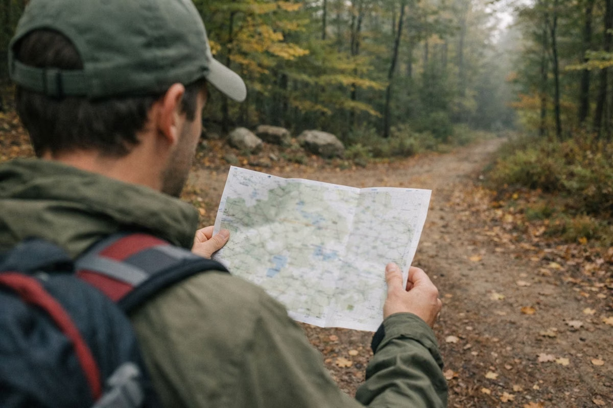
The official Mount Greylock trail map is a free DCR PDF that covers the whole reservation and Greylock Glen. Download it from mass.gov. Paper copies are free at the visitor center on Rockwell Road in Lanesborough, at Bascom Lodge on the summit and at trailhead kiosks. One side shows the summer trail system. The other side is a Winter Use Trail Map with plowed roads, snowshoe routes, ski trails and snowmobile trails.
We don't draw our own map. Below is what each DCR map shows, how to read it, and the companion documents that give distances.
Trail Map at a Glance
The Maps DCR Publishes
- Trail Map (summer and winter sides): every named trail, roads, parking, shelters, scenic vistas and town lines.
- Hiking Trail Mileages: a four-page table of distances and difficulty for each trail, from named starting points.
- Suggested Day Hikes: 13 routes with round-trip distance, time, climb, trailhead address and GPS coordinates.
- Campground map: the layout of Sperry Road Campground, linked from DCR's camping page. See our camping guide.
- Hunter access map: linked from DCR's hunting page.
How the Mileage Sheet Divides the Mountain
DCR's mileage sheet splits the reservation into five areas. Knowing which one a trailhead sits in makes the map much easier to read.
- Greylock South and Visitor Center: Bradley Farm (1.8-mile loop), Northrup, Woodason Spring, Rounds Rock and Old Adams Road.
- Greylock West: Campground Trail (1.3 miles), Hopper Trail, CCC Dynamite, Deer Hill, March Cataract, Roaring Brook, Stony Ledge, Haley Farm and Stage trails.
- Greylock North: the Appalachian Trail from Pattison Road in North Adams, Bernard Farm, Money Brook, Mount Prospect and the Old Summit Road trail.
- Greylock Summit: Overlook Trail, Jones Nose Trail (3.6 miles to the summit via the AT) and the Robinson's Point vista.
- Greylock East and Greylock Glen: Cheshire Harbor, Gould, Thunderbolt, Bellows Pipe, Red Gate, Silver Fox, Old Adams Road and Ragged Mountain.
Reading the Map: Blazes and Difficulty
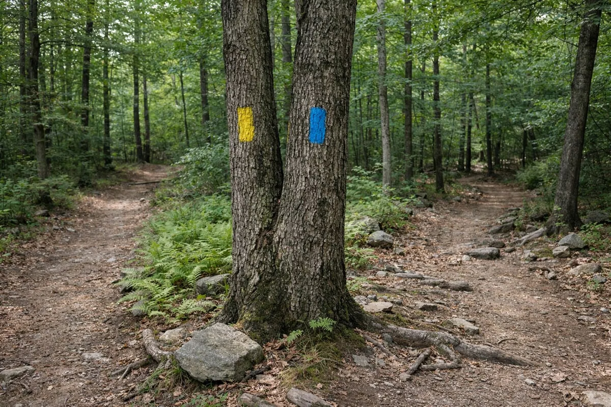
On the ground, white vertical blazes mark the Appalachian Trail and blue blazes mark everything else. A double blaze means a turn. The mileage sheet rates each section easy, moderate, strenuous or aggressive, based on distance and climb for an average hiker, and DCR plans on 1.5 miles an hour.
Key Trail Distances
- Cheshire Harbor Trail (to the summit via the AT): 3.3 miles one way.
- Appalachian Trail, Wilbur's Clearing to the summit: 3.2 miles one way.
- Hopper Trail (Hopper Road to the campground): 2.4 miles, then 1.7 miles more to the summit via the AT.
- Money Brook Falls from Notch Road (one way): 0.8 miles.
- March Cataract Trail (to the falls and back): 1.9 miles.
- Thunderbolt Trail, lower section (Thiel Road to Bellows Pipe Trail): 0.9 miles.
- Overlook Trail loop from the summit: 2.5 miles.
The Winter Use Map
The winter side of the map marks which roads are plowed, which unpaved roads are not, and which trails are for snowshoeing and backcountry skiing, expert skiing or snowmobiles. It also shows the Ashuwillticook Rail Trail in the valley. DCR's note on gates: they are there to keep motor vehicles out, and every other trail user is welcome past them.
Trail Rules Printed on the Map
- Stay on designated trails and roads.
- Camp only in the campground and at lean-to sites.
- No off-road vehicles.
- Hikers let bikes and horses pass; bikers don't skid; riders keep control of their horses.
- Know the hunting seasons and wear blaze orange when it applies.
Phone Maps and Signal
Download the PDF before you leave home rather than counting on a signal at the trailhead. Carry the paper copy too. DCR posts signs at trail junctions, but the map is what tells you which junction you've reached.
Where to Start
New to the mountain? Pick a route from our hiking guide first, then find it on the map. Trailhead parking is on our parking page, and the current season for the summit road is on the auto road page. The DCR page for Mount Greylock State Reservation is the source of record.
Trail Map FAQ
Where can I get a Mount Greylock trail map?
DCR's trail map is a free PDF on mass.gov. Free paper copies are at the visitor center at 30 Rockwell Road in Lanesborough, at Bascom Lodge on the summit and at trailhead kiosks around the reservation.
Does the Mount Greylock trail map show distances?
The map shows the trails. Distances are in DCR's companion Hiking Trail Mileages sheet, a free PDF that lists each trail from named starting points with a difficulty rating.
Is there a winter trail map for Mount Greylock?
Yes. The back of DCR's trail map is a Winter Use Trail Map showing plowed and unplowed roads, snowshoe and backcountry ski trails, expert ski trails and snowmobile trails.
What do the trail colors mean on Mount Greylock?
White blazes mark the Appalachian Trail. Blue blazes mark every other trail. Two blazes stacked together mean a turn or a junction.
Facts from the DCR page for Mount Greylock State Reservation.