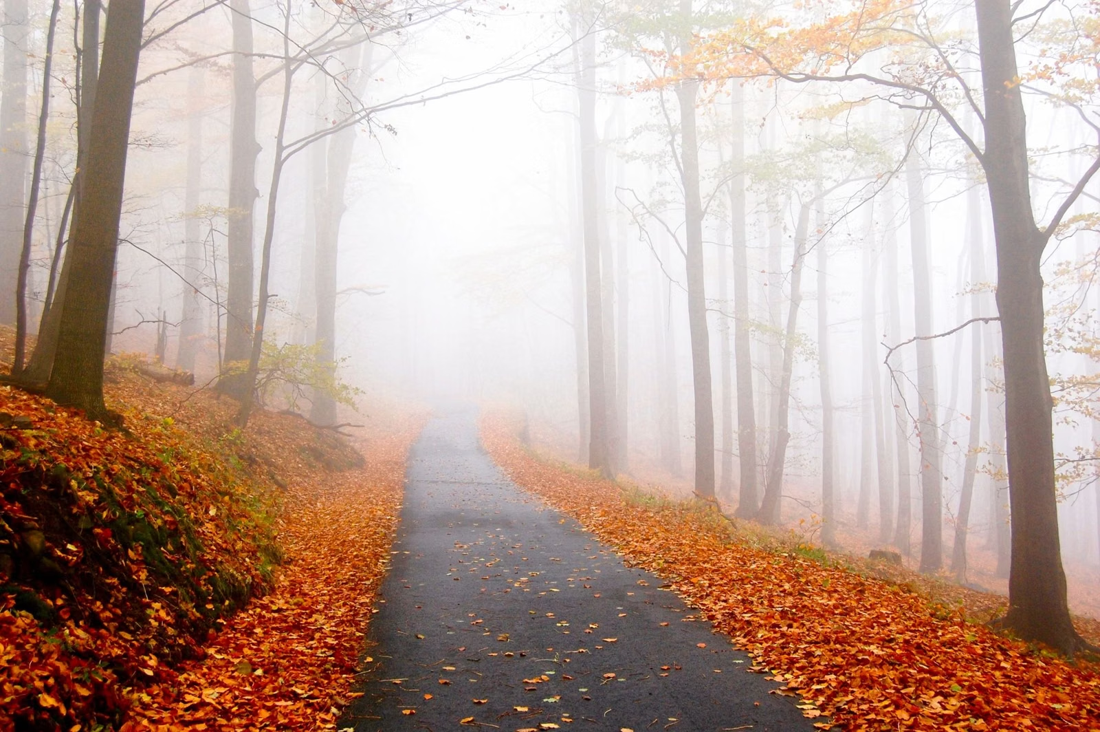
Mount Greylock Auto Road
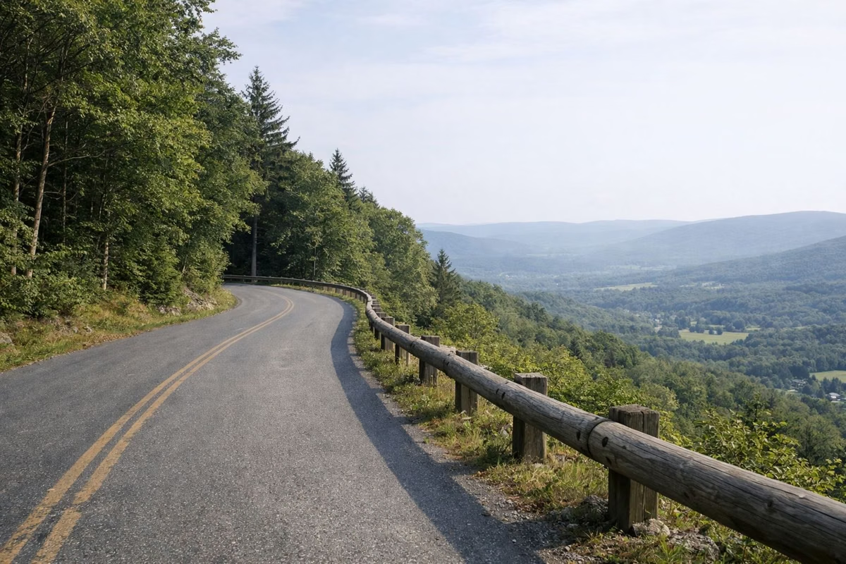
The Mount Greylock auto roads are open May 16 through October 30, 2026. Two roads climb to the 3,491-foot summit: Rockwell Road from the visitor center in Lanesborough, 8 miles below the top, and Notch Road from North Adams. Together they're the Mount Greylock Scenic Byway. New this season, DCR bans vehicles longer than 22 feet from the auto roads and the summit.
Outside the season the roads are closed to cars above the visitor center. The visitor center itself stays open to every vehicle year-round.
The Auto Road at a Glance
When the Road Is Open
DCR sets the dates each year. For 2026 the auto roads opened May 16 and close October 30. The Veterans War Memorial Tower and Bascom Lodge opened a week later, on May 23, 2026. DCR's visitor center page describes the usual window as late May through late October.
Opening and closing can shift with the weather. Before an early- or late-season drive, check the DCR park page or call the visitor center at (413) 499-4262.
The Two Roads
- Rockwell Road, from the south: starts at the visitor center at 30 Rockwell Road, Lanesborough, and climbs 8 miles to the summit, past the Rounds Rock, Jones Nose, Campground and CCC Dynamite trailheads.
- Notch Road, from the north: climbs from North Adams past the Money Brook Falls parking lot and Wilbur's Clearing, and meets Rockwell Road just below the summit.
Drive up one and down the other to make a loop through the reservation.
The 22-Foot Vehicle Limit
DCR added a new restriction: vehicles over 22 feet long are prohibited on the Mount Greylock auto roads and at the summit. If you're driving an RV or towing a trailer, measure the full length before you go. The visitor center is open to all vehicles.
Stops Along the Way
- Rounds Rock: an easy to moderate 2.8-mile loop with views south, from a lot in Cheshire.
- Jones Nose: the start of a ridge hike to the summit.
- Campground Parking Lot: the start of the walk to Sperry Road Campground and the Summit Hike.
- CCC Dynamite trailhead: park here and walk Sperry Road 1.9 miles to Stony Ledge. Sperry Road itself is a walking route, not part of the drive.
- Wilbur's Clearing (Notch Road): where the Appalachian Trail heads south to the summit, 3.2 miles.
- Money Brook Falls lot (Notch Road): 0.8 miles to the falls.
The regional byways site lists more short hikes that go with an auto tour of the mountain.
October Traffic
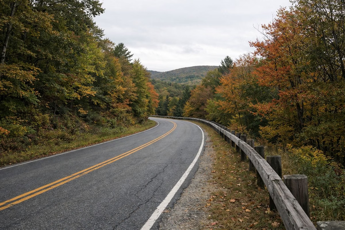
DCR's fall guide warns of congestion on Rockwell and Notch Roads during peak October weekends, and possible delays to park at the summit. Go early, go on a weekday, or use one of DCR's other viewpoints on our fall foliage page.
Parking at the Top
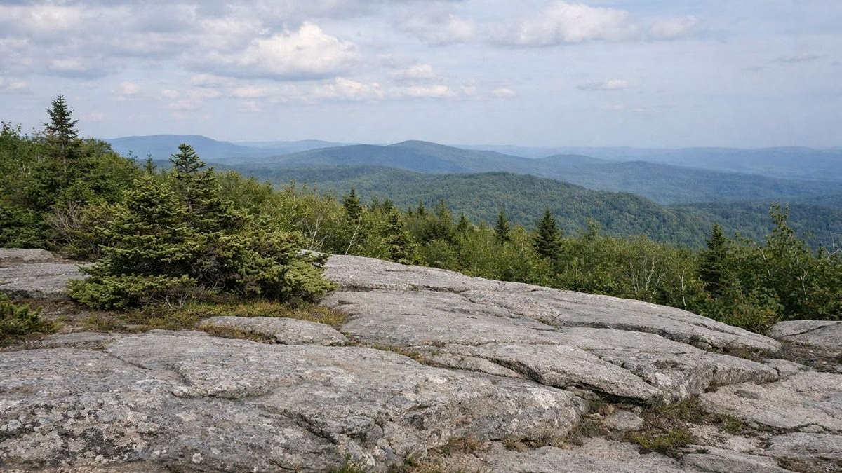
There's a parking lot at the summit, open while the road is. DCR's trail mileage sheet notes a fee at the summit lot. Details are on our parking page.
Road Rules
- No vehicles over 22 feet.
- No skateboarding or longboarding on the parkway.
- No ATVs or other off-road vehicles on trails.
- Watch for hikers crossing at trailheads. DCR's hike guide warns of oncoming traffic at the CCC Dynamite and Rounds Rock crossings.
A Road With History
Rockwell Road was first built in 1906–07 by the Greylock Reservation Commission as an improved road to the summit. In the 1930s the Civilian Conservation Corps rebuilt it as a two-lane auto road, the same years it built Bascom Lodge. More on our park history page.
In Winter
When the road closes, the mountain doesn't. DCR's winter trail map shows plowed and unplowed roads, and the park page says snowmobiles can ride snow-covered trails to the summit. Hikers use the year-round trailheads in our hiking guide.
Dates here are from the DCR park page, the source of record.
Auto Road FAQ
Is the Mount Greylock road open?
The auto roads to the summit are open May 16 through October 30, 2026. Outside those dates they're closed to cars. The visitor center on Rockwell Road in Lanesborough stays open to all vehicles year-round.
Can you drive to the top of Mount Greylock?
Yes, in season. Take Rockwell Road from Lanesborough or Notch Road from North Adams. Vehicles longer than 22 feet are not allowed.
How long is the drive up Mount Greylock?
The summit is 8 miles from the visitor center along Rockwell Road, per DCR. On peak October weekends, expect traffic and a wait for summit parking.
Can RVs drive up Mount Greylock?
Only if they're 22 feet long or shorter. DCR prohibits longer vehicles on the auto roads and at the summit. The visitor center is open to all vehicles.
What is the Mount Greylock Scenic Byway?
It's the name for the auto roads through the reservation, Rockwell Road and Notch Road, which climb to the summit from Lanesborough and North Adams. It's open to cars in season, roughly late May to late October.
Facts from the DCR page for Mount Greylock State Reservation.