Mount Greylock Hiking
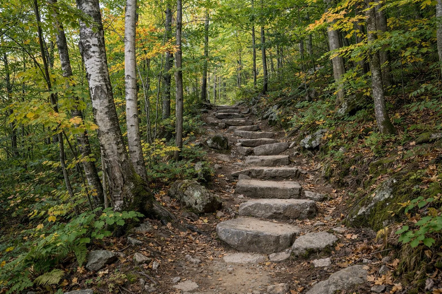
Hiking at Mount Greylock runs from an easy 1.8-mile loop to a 13-mile day over the whole range. DCR's own pick for the easiest climb to the 3,491-foot summit is the Cheshire Harbor Trail from Adams, a 6.6-mile round trip with about 2,100 feet of climbing. If you want a big view without a big climb, walk Sperry Road to Stony Ledge: 3.8 miles round trip and rated easy.
Every distance and time below comes from DCR's Suggested Day Hikes guide and its trail mileage sheet. DCR plans on 1.5 miles an hour for an average hiker. DCR's advice is to plan conservatively and start early.
Hiking at a Glance
Compare All 13 DCR Hikes
Filter by difficulty, length or the area where the hike starts. Every row is a round trip from DCR's Suggested Day Hikes guide.
Showing all 13 marked trails. DCR plans on 1.5 miles an hour for an average hiker.
| Trail | Miles | Time | Difficulty | Shape | Bikes | Area |
|---|---|---|---|---|---|---|
| Rounds Rock Trek | 6.9 | 5 to 6 hours | Moderate | – | – | Visitor Center |
| Bradley Farm Trail | 1.8 | 90 minutes | Easy | Loop | – | Visitor Center |
| Views and Falls | 5.5 | 4 to 5 hours | Strenuous | – | – | Haley Farm |
| Greylock in the Round | 13 | 9 hours | Aggressive | – | – | Haley Farm |
| Roaring Brook and Stony Ledge | 5.6 | 4 to 5 hours | Strenuous | – | – | Roaring Brook Road |
| Thoreau's Footsteps | 9.6 | 6 hours | Aggressive | – | – | Notch Road |
| Bellows Pipe and Ragged Mountain | 5 | 4 hours | Moderate to strenuous | – | – | Greylock Glen |
| Cheshire Harbor Trail | 6.6 | 4 to 5 hours | Moderate to strenuous | – | – | Greylock Glen |
| Summit Hike | 6.2 | 4.5 to 5 hours | Moderate to strenuous | – | – | Rockwell Road |
| Stony Ledge via Sperry Road | 3.8 | 2.5 to 3 hours | Easy | – | – | Rockwell Road |
| Jones Nose to Summit | 8.5 | 5.5 to 6 hours | Strenuous to aggressive | – | – | Rockwell Road |
| Rounds Rock and Jones Nose Loop | 2.8 | 2 to 2.5 hours | Easy to moderate | Loop | – | Rockwell Road |
| Wilbur's Clearing to Summit | 6.9 | 4.5 to 5 hours | Moderate to strenuous | – | – | Notch Road |
Miles, times, ratings and trailhead areas from DCR's Suggested Day Hikes guide (updated July 2020). A dash means the source doesn't say; those trails drop out when you filter on that column.
GPX download
Routes as mapped by OpenStreetMap contributors (opens in new tab), available under the Open Database License (opens in new tab). They are approximate and not DCR's official routes. Check them against the DCR trail map, and don't rely on a download alone in the backcountry.
Best Hikes to the Summit
- Cheshire Harbor Trail, from the end of West Mountain Road in Adams: 6.6 miles round trip, 4 to 5 hours, 2,100 feet of gain, moderate to strenuous. DCR calls it the easiest and shortest route from base to summit. Full trail guide.
- Summit Hike, from the Campground Parking Lot on Rockwell Road: 6.2 miles round trip, 4.5 to 5 hours, 1,070 feet of gain. Campground Trail to Hopper Trail to the Appalachian Trail. Only possible while the auto road is open.
- Wilbur's Clearing to Summit, from Notch Road in North Adams: 6.9 miles round trip, 4.5 to 5 hours, 1,172 feet of gain. South on the Appalachian Trail along the ridge, back on part of the old 1860 carriage road. Seasonal.
- Jones Nose to Summit, from Rockwell Road in Cheshire: 8.5 miles round trip, 5.5 to 6 hours, strenuous to aggressive. A ridge walk through the boreal forest. Seasonal.
- Thoreau's Footsteps, from Notch Road in North Adams: 9.6 miles round trip, about 6 hours, 2,191 feet of gain, aggressive. Up the Bellows Pipe Trail, following part of Henry David Thoreau's 1844 climb.
Easier Hikes and Short Walks
- Bradley Farm Trail, from the visitor center in Lanesborough: a 1.8-mile loop, about 90 minutes, 424 feet of gain. Old farm walls, an 1800s apple orchard and numbered posts that match a free DCR brochure.
- Stony Ledge via Sperry Road: 3.8 miles round trip on a dirt road, 2.5 to 3 hours, 494 feet of gain, easy. DCR calls the ledge one of the most dramatic views in the park. Seasonal. Stony Ledge guide.
- Rounds Rock and Jones Nose Loop, from Rockwell Road in Cheshire: 2.8 miles, 2 to 2.5 hours, 217 feet of gain, easy to moderate, with views south from both knobs. Seasonal.
- Money Brook Falls, from the Notch Road lot: 0.8 miles each way, but DCR rates it strenuous. Falls guide.
Longer Days on the Mountain
DCR's longest suggested route is Greylock in the Round: 13 miles from the Haley Farm trailhead on Hopper Road in Williamstown, about 9 hours and 2,390 feet of gain, rated aggressive. It climbs past Money Brook Falls, crosses the ridge to the summit and comes back by Stony Ledge. Views and Falls, from the same trailhead, is the shorter cousin at 5.5 miles, with an optional side trip to March Cataract Falls.
The Roaring Brook and Stony Ledge loop starts at 160 Roaring Brook Road in Williamstown: 5.6 miles, 4 to 5 hours, strenuous, through hemlock woods to the ledge. Parking there is limited, so arrive early.
How Hard Are the Trails?
DCR rates every trail on a four-step scale based on distance and climb: easy, moderate, strenuous and aggressive. Most routes to the summit land in strenuous or aggressive. The park page puts it plainly: trails run from casual to extremely difficult.
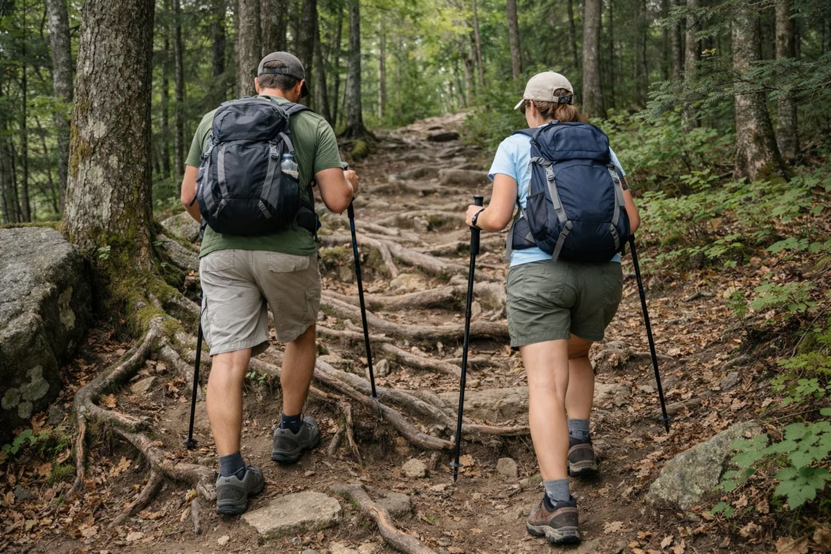
Expect rocks, roots and water. DCR's guide warns that trails can be wet and recommends sturdy waterproof boots. Dress in layers, because the summit is colder than the trailhead. Our weather page explains how much colder.
Trail Blazes and Signs
Blazes are vertical marks about the size of a dollar bill, painted on trees. White blazes mark the Appalachian Trail. Blue blazes mark every other trail. Two blazes stacked together mean a turn or a junction. DCR posts signs at trail intersections.
Year-Round Hikes vs Seasonal Hikes
DCR splits its 13 suggested hikes into two groups. The year-round hikes start from the visitor center, Hopper Road, Roaring Brook Road, Notch Road at Reservoir Road, Gould Road and West Mountain Road. The seasonal hikes start from lots on Rockwell Road and Notch Road that you can only reach while the auto road to the summit is open, from late May to about November 1.
Water, Pace and Group Size
- Drinking water: at the visitor center year-round, and behind Bascom Lodge on the summit from late May through October. Treat any water you take from a stream.
- Pace: plan on 1.5 miles an hour, start early and know when the sun sets.
- Groups: DCR asks for 12 people or fewer, with one adult for every five children, and asks groups to stay together at the slowest hiker's pace.
- Trash: carry out everything you carry in.
Dogs and Hunting Season
Dogs are welcome on a leash no longer than 10 feet, attended at all times, with proof of a current rabies shot. Hunting is allowed in parts of the reservation, but not from May 20 to Columbus Day. DCR asks hikers and leashed pets to wear blaze orange during hunting season. Our rules page has the dates.
Overnight Hikes
Five lean-to shelters along the trails take backpackers year-round, first come first served: Deer Hill, Wilbur's Clearing, Bellows Pipe, Peck's Brook and Mark Noepel. Register your trip with park staff at (413) 499-4262. In summer you can also book a hike-in site at Sperry Road Campground.
Maps and Sources
Free paper trail maps are at the visitor center, at Bascom Lodge and at trailhead kiosks. The DCR PDFs are on our trail map page, along with DCR's Suggested Day Hikes and trail mileage sheet. For current conditions, check the DCR page for Mount Greylock State Reservation. Parking for each trailhead is on our parking page.
Mount Greylock Hiking FAQ
What is the easiest hike up Mount Greylock?
DCR names the Cheshire Harbor Trail in Adams as the easiest and shortest route from base to summit: 6.6 miles round trip, 4 to 5 hours, about 2,100 feet of climbing. For an easy walk with a view but no summit, try Sperry Road to Stony Ledge, 3.8 miles round trip.
How long does it take to hike Mount Greylock?
Most summit hikes take 4 to 6 hours round trip by DCR's estimates. The Cheshire Harbor Trail takes 4 to 5 hours, the Summit Hike from Rockwell Road 4.5 to 5 hours, and the full Greylock in the Round loop about 9 hours.
Can you hike Mount Greylock in winter?
Yes. DCR lists eight year-round hikes from trailheads that stay reachable when the auto road is closed, including the Cheshire Harbor Trail and Bellows Pipe routes. DCR's hike guide asks winter hikers to read its winter safety tips first.
Are dogs allowed on Mount Greylock trails?
Yes, on a leash no longer than 10 feet, attended at all times, with current proof of rabies vaccination. Clean up after your dog and take the waste out of the park.
Is the Appalachian Trail on Mount Greylock?
Yes. The Appalachian Trail crosses the summit, and 11.5 miles of it run through the reservation. Several summit hikes use it, marked with white blazes.
Facts from the DCR page for Mount Greylock State Reservation.