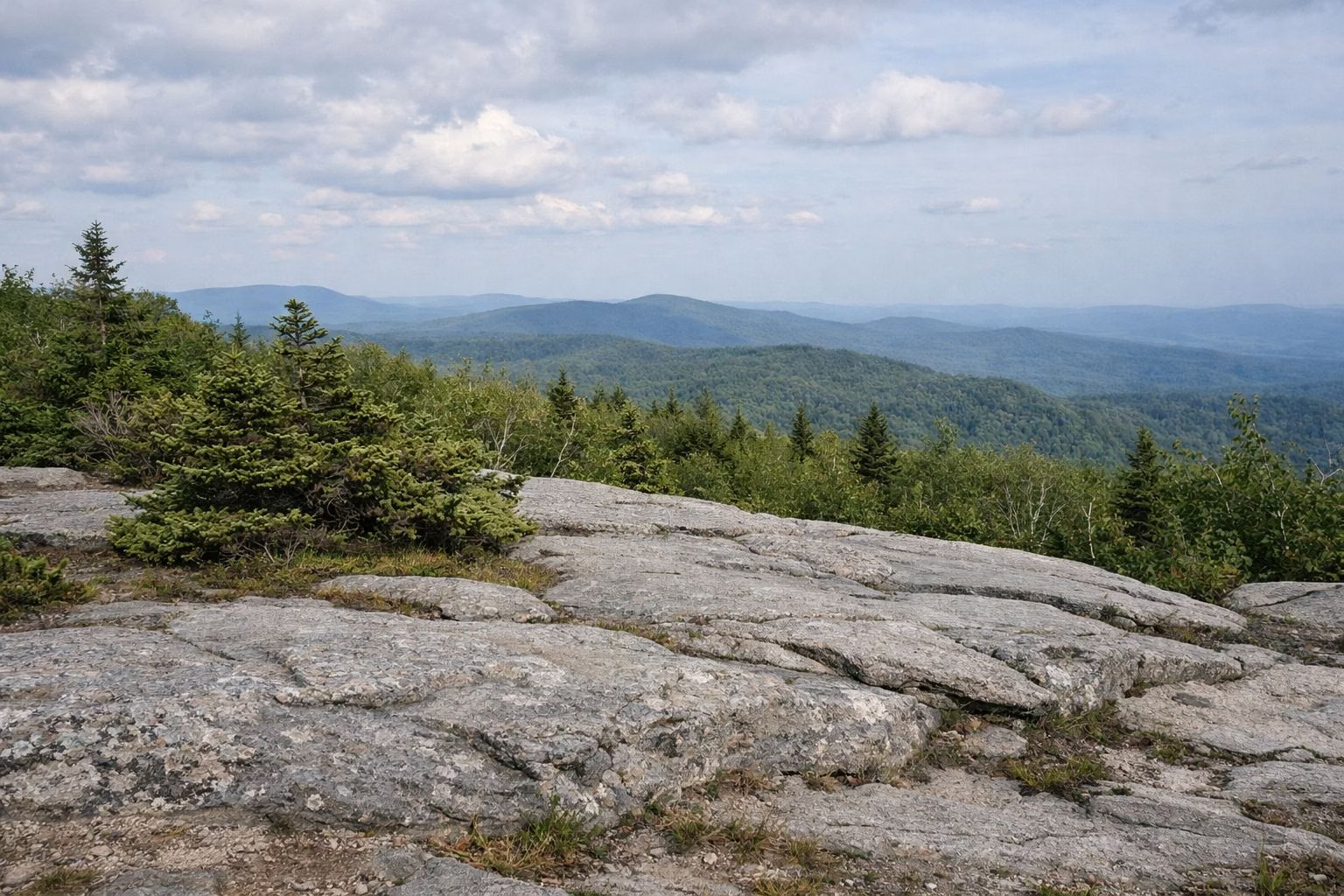
Mount Greylock Summit
The summit of Mount Greylock is 3,491 feet above sea level, the highest point in Massachusetts. DCR says that on a clear day you can see as far as 90 miles from the top. You can drive up from mid May to late October, or hike up any time of year. The 3.3-mile Cheshire Harbor Trail from Adams is the shortest route on foot.
At the top you'll find the Veterans War Memorial Tower, Bascom Lodge, parking and the white blazes of the Appalachian Trail crossing the summit.
The Summit at a Glance
How High Is Mount Greylock?
DCR gives the summit as 3,491 feet, and a marker at the top uses the same figure. The National Park Service writes 3,492. We use DCR's number, since DCR manages the mountain. Either way, nothing in Massachusetts is higher.
What You Can See
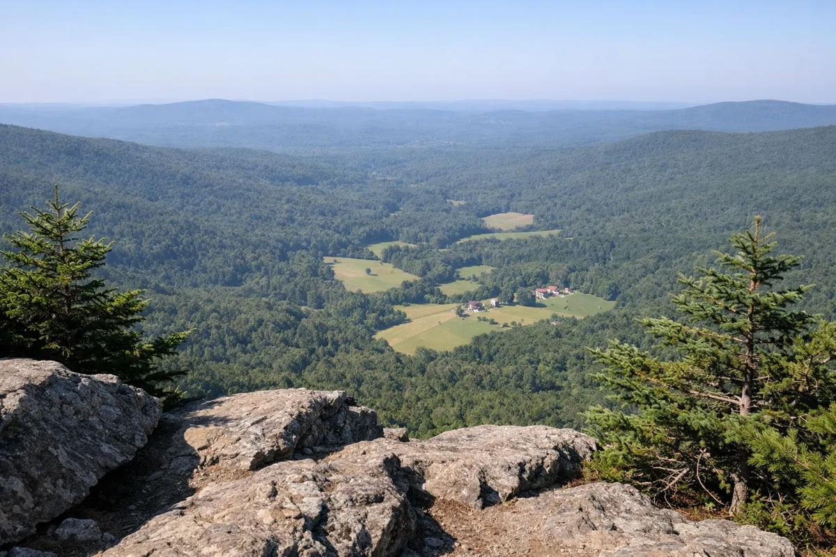
DCR's park page says the view reaches as far as 90 miles on a clear day; its trail map says 60 to 90 miles. When the tower's beacon was built, the summit marker says, its light could be seen 70 miles away.
For a view that faces a different way, two short walks leave the summit. Robinson's Point is 0.8 miles north on the Appalachian Trail, a strenuous drop. The Overlook Trail loop from the summit, returning by the Hopper Trail and the AT, is 2.5 miles.
What's on Top
- Veterans War Memorial Tower: the 92-foot granite memorial, open daily Memorial Day weekend to Indigenous Peoples Day, weather permitting.
- Bascom Lodge: the 1930s stone lodge with food and rooms, open late May to mid or late October.
- Drinking water: behind Bascom Lodge, late May through October.
- Parking: a summit lot, open while the auto road is. DCR's mileage sheet notes a fee there; see parking.
- Free trail maps at Bascom Lodge.
Driving to the Summit
Two paved roads climb to the top. Rockwell Road starts near the visitor center in Lanesborough, 8 miles below the summit, and Notch Road starts in North Adams. Both are open May 16 through October 30, 2026. Vehicles longer than 22 feet are not allowed. Together the roads are the Mount Greylock Scenic Byway. Details are on the auto road page.
DCR warns that on peak October weekends both roads get congested and parking at the summit can mean a wait.
Hiking to the Summit
- Cheshire Harbor Trail, Adams: 3.3 miles each way, about 2,100 feet of climbing. DCR's easiest route from the base.
- Appalachian Trail from Wilbur's Clearing, Notch Road: 3.2 miles each way. Seasonal trailhead.
- Jones Nose Trail, Rockwell Road: 3.6 miles each way via the AT. Seasonal trailhead.
- Hopper Trail from Williamstown: 2.4 miles to the campground, then 1.7 more to the summit. Year-round trailhead.
All the routes are in our hiking guide with times and difficulty.
Weather at the Top
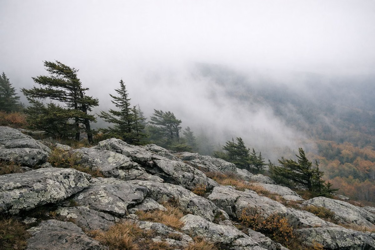
The summit is noticeably colder than the valley towns. Bring a layer even in July. Our weather page has what to expect and a link to the live forecast.
A Mountain With a Literary Past
The National Park Service tells how writers came here in the 1800s. Henry David Thoreau spent a cold night on the summit in 1844 and woke to fog filling the valleys. Herman Melville, who lived in Pittsfield, dedicated his novel Pierre to the mountain. In 1898 Greylock became Massachusetts' first state reservation. More on our park history page.
Nature Near the Top
NPS notes that the reservation is home to 40 species of rare plants, and that a 1,600-acre stand of old-growth red spruce was named a National Natural Landmark in 1987. DCR's hike guide describes the ridge south of the summit as boreal forest.
Good For / Maybe Skip If
- Good for: the highest view in the state, fall foliage, a summit you can reach by car, and a first big hike.
- Maybe skip if: it's a peak October weekend and you hate traffic. Go on a weekday, start early, or see DCR's quieter foliage spots on our fall foliage page.
Season dates come from the DCR park page, the source of record.
Summit FAQ
How high is the summit of Mount Greylock?
3,491 feet, according to DCR. It's the highest point in Massachusetts. (The National Park Service lists 3,492.)
What is the highest point in Massachusetts?
The summit of Mount Greylock, at 3,491 feet, in the town of Adams in Berkshire County. A war memorial tower and a 1930s lodge stand on top.
Can you drive to the top of Mount Greylock?
Yes, in season. Rockwell Road from Lanesborough and Notch Road from North Adams reach the summit; in 2026 they're open May 16 through October 30, 2026. Vehicles over 22 feet aren't allowed.
How far can you see from Mount Greylock?
DCR says as far as 90 miles on a clear day. Its trail map gives a range of 60 to 90 miles.
What is the shortest hike to the top of Mount Greylock?
The Cheshire Harbor Trail from West Mountain Road in Adams: 3.3 miles to the summit, about 2,100 feet of climbing. DCR calls it the easiest and shortest route from base to summit.
Facts from the DCR page for Mount Greylock State Reservation.